
Where We Build and Remodel in Greater Portland
Our crews build and remodel in Portland and the 21 mainland towns nearest to it, reaching about 20 miles out to Raymond. Pick your town to read about its lots, its houses and its code office before you plan a thing.
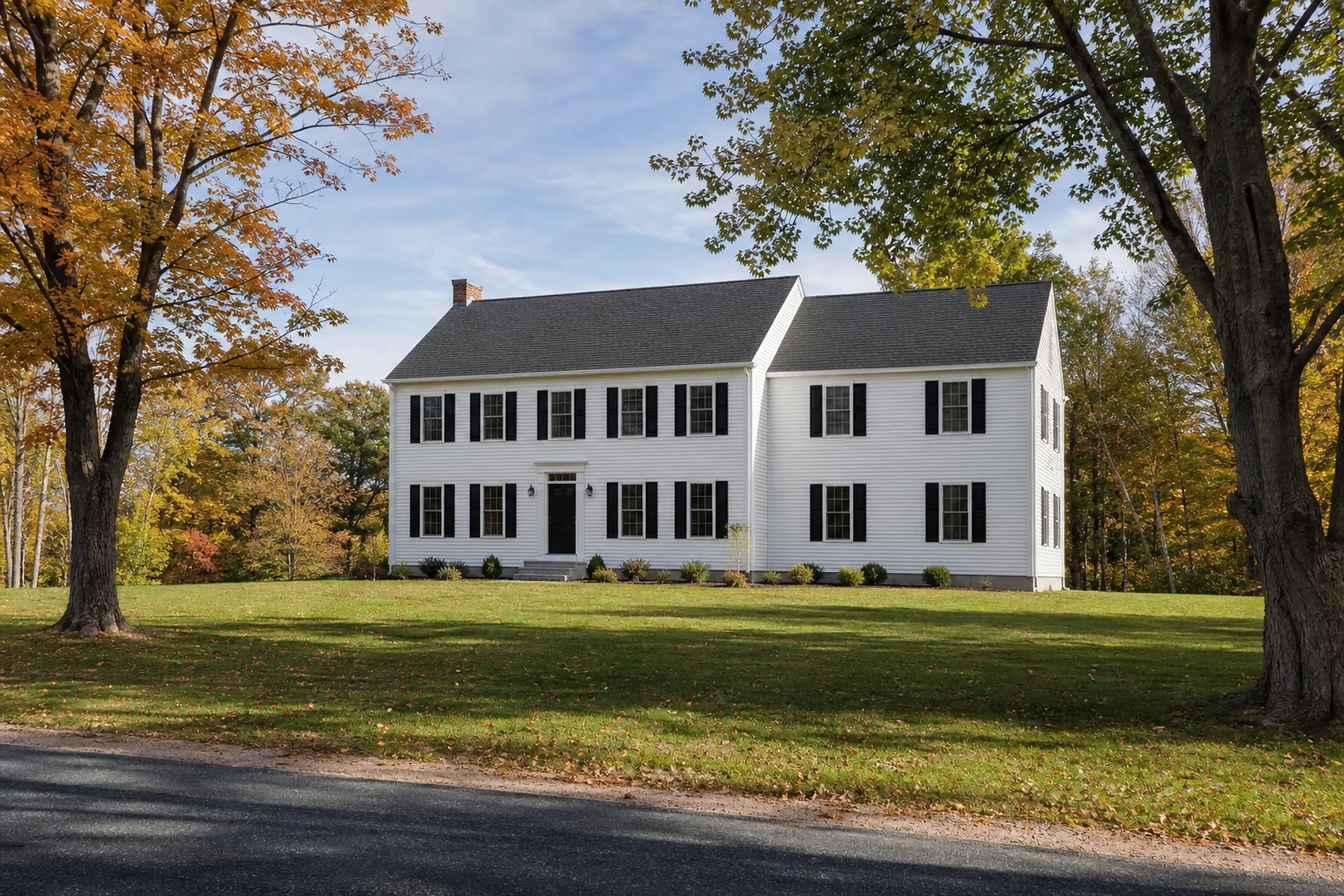
North, up the coast and the Route 1 towns
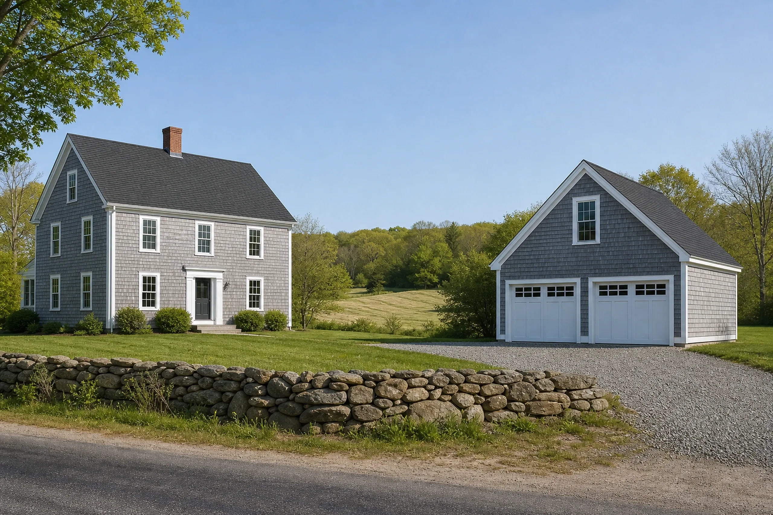
West, the lakes and the farm towns
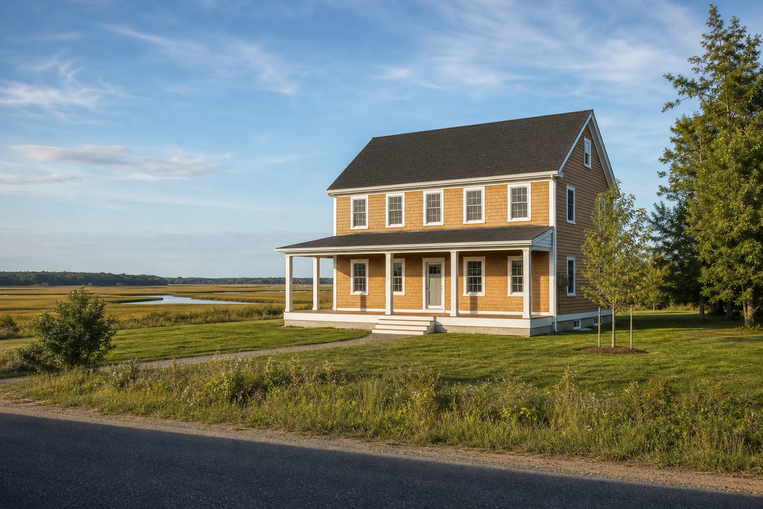
South, the shore and the Saco River
- 5-year workmanship warranty, in writing
- Free estimate requests
- 22 towns, Portland to Raymond
Who Do We Build For North of Portland?
7 townsNorth of Portland we build for homeowners in seven towns, from Falmouth and Yarmouth on Casco Bay to the farms and woods of North Yarmouth, Pownal and Gray.
| Town | The houses | Miles from Portland |
|---|---|---|
| Falmouth | Falmouth put a yearly cap on new single-family homes in 2000, so a new house there needs a growth permit along with the building permit. Public sewer follows Route 1 and Route 88 in the east, while the Farm and Forest district is planned without it. | 5 mi |
| Cumberland | Cumberland stretches inland from its Casco Bay shore at the Foreside to rural West Cumberland, and its rural residential districts call for home lots of 2 to 4 acres. A growth permit application there needs either proof of a sewer user unit or a recent HHE-200 septic design. | 10 mi |
| Yarmouth | Yarmouth's village grew along Main Street and the falls of the Royal River, and it has five local historic districts, the Upper Village and the Lower Village among them. Its water district draws from four wells, all of them across the line in North Yarmouth. | 11 mi |
| North Yarmouth | North Yarmouth is a rural town where 94.3 percent of the housing is single-family, and the median house was built in 1983. A Royal River Corridor Overlay covers land within 500 feet of the Royal River, the East Branch and Chandler Brook. | 12 mi |
| Freeport | Freeport's shoreland ordinance reaches 250 feet from every tidal area and coastal wetland, and it keeps a new home at least 75 feet off the normal high-water mark. Maine Water Company pipes public water to only part of the town. | 16 mi |
| Pownal | Pownal is a rural town of farmland and woods around Bradbury Mountain, where the Village and Rural districts ask for 300 feet of road frontage and a lot of about 2.07 acres. Most homes draw water from aquifers or bedrock wells, and a septic soils report on an HHE-200 form comes before any building permit. | 17 mi |
| Gray | Gray takes in the larger part of both Little Sebago and Crystal lakes, and a shoreland home lot there needs 200 feet of shore frontage on at least 80,000 square feet. The town spreads across six village areas, and the Gray Water District, first in service in 1929, draws mainly from the Libby Brook aquifer. | 16 mi |
How Far West of Portland Do Our Crews Travel?
7 townsOur crews travel west as far as Raymond, about 20 miles out, through seven towns of mill streets, farm fields, lake camps and woods.
| Town | The houses | Miles from Portland |
|---|---|---|
| Westbrook | Westbrook grew up as a mill city on the Presumpscot River, with older houses packed near the mill and postwar ranches out at Prides Corner. Every new home there needs a Surface Drainage Plan for the City Engineer to review. | 6 mi |
| Gorham | Our office is on Gray Road in Gorham, a town turning farm fields into subdivisions, where each new dwelling requires a growth permit under a yearly cap of 125. Gorham also requires an automatic sprinkler system in every new home, single-family houses included. | 9 mi |
| Windham | In Windham, camps on Sebago and Little Sebago lakes keep becoming year-round homes, which usually means foundation, septic, insulation and heat in a single job. North Windham has relied on septic systems, and the Portland Water District broke ground on a wastewater project there in 2023. | 12 mi |
| Standish | Standish takes in the southern end of Sebago Lake, Portland's drinking water supply, where the Portland Water District manages much of the land reserve. The town's draft plan says it has no public sewer, and about 60 percent of new home permits from 2019 to 2023 went to its rural zones. | 16 mi |
| Buxton | Buxton's mill-era houses line its Saco River villages of Salmon Falls, Bar Mills and West Buxton, with newer homes on rural lots between them. Its zoning says the Residential District will not be sewered, and building plans must show the well and the septic system. | 14 mi |
| Hollis | The Saco River forms the whole northeastern edge of Hollis, and building within 500 feet of it needs the Saco River Corridor Commission's review on top of shoreland zoning. The river villages of Bar Mills and Hollis Village hold the town's older houses. | 17 mi |
| Raymond | Raymond is a lake town: Panther Pond lies inside it, and it shares Thomas Pond and Crescent Lake with Casco. Its building permit package asks for shoreland, soil-disturbance, tree-removal and erosion-control details along with the plans. | 20 mi |
Where Along the Shore and the Saco Do We Build?
7 townsAlong the shore and up the Saco River we build in seven towns, from South Portland and Cape Elizabeth down to Biddeford and inland to Dayton.
| Town | The houses | Miles from Portland |
|---|---|---|
| South Portland | South Portland filled in after the war with ranches and capes for shipyard workers, around older cottages in Knightville and at Willard Beach. The whole city is on public sewer, and its water comes from the Portland Water District. | 1 mi |
| Cape Elizabeth | Cape Elizabeth zones much of its land for 80,000-square-foot home lots, and about 30 percent of the town is zoned for resource protection. Along the shore, its floodplain ordinance asks for 2 feet of freeboard above base flood elevation in AE zones. | 4 mi |
| Scarborough | Scarborough holds Maine's largest salt marsh, about 3,200 acres, with the Nonesuch River as its biggest source of fresh water. At Higgins Beach, character-based zoning from 2015 governs building types, massing and foundations for infill and redevelopment. | 6 mi |
| Old Orchard Beach | Old Orchard Beach packs cottages and seasonal rentals onto small lots near the shore, where setbacks and lot coverage shape almost every project. Its oceanfront is mapped as a VE flood zone, where FEMA puts the flood line roughly 11 to 16 feet up. | 11 mi |
| Saco | Saco's Main Street holds large 19th-century homes, and FEMA's 2024 maps set the flood line near 13 to 19 feet at Camp Ellis and Ferry Beach. Public sewer reaches most of the city between the Maine Turnpike and the coast. | 14 mi |
| Biddeford | Biddeford's housing runs from triple-deckers built for mill workers along the Saco to summer cottages out at Biddeford Pool and Fortunes Rocks. Its Rural-Farm zone covers roughly 53 percent of the city, mostly forest set back from the roads. | 15 mi |
| Dayton | Dayton was a lumber and dairy town until the fires of 1947 burned about two-thirds of it, so much of its housing dates from after them. Its 2017 plan found no town water or sewer, and a new home needs an HHE-200 septic form with its plumbing permit. | 18 mi |
Should We Start With Your Lot or Your House?
Send the town and the project, and we will pick a day to walk it with you. The full plans and the fixed price follow in writing, before ground breaks or a wall opens.